Data Archive
The Data Archive displays each individual data capture of UAS and pilot location, including camera orientation. It is searchable using parameters similar to those in Flight History. Users can refine their search further by clicking the ADD CRITERIA button to apply additional filters, including Flight Duration (s), Max Altitude (ft), Detection Time, Distance Between Pilot and UAS (ft), Violation Severity, or a Specific Violation. Additionally, the Data Archive can be queried to include only data for a specific drone type, sensor type, or individual sensor.
Note: The Data Archive is limited to drone (UAS) data only. It does not include radar tracks, even if those tracks are later classified as UAS within the system. This ensures the archive focuses strictly on cooperative drone records.
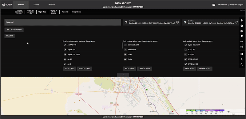
Users can search for flights by entering keywords in the search bar.
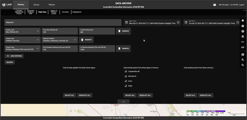
To refine search results, users can apply additional criteria:
- Enter a keyword in the search bar.
-
Click ADD CRITERIA
 to add a new filter. This action will generate an
input dropdown field labeled Criteria Type.
to add a new filter. This action will generate an
input dropdown field labeled Criteria Type.
Allowing users to select from the following options:
- Flight Duration (s) – Filter by total flight duration.
- Max Altitude (ft) – Show flights based on their highest altitude.
- Detection Time – Filter flights by detection timestamp.
- Distance Between Pilot and UAS (ft) – Show flights based on proximity to the pilot.
- Violation Severity – Display flights based on violation severity.
- Specific Violation – Search for flights linked to a specific infraction.
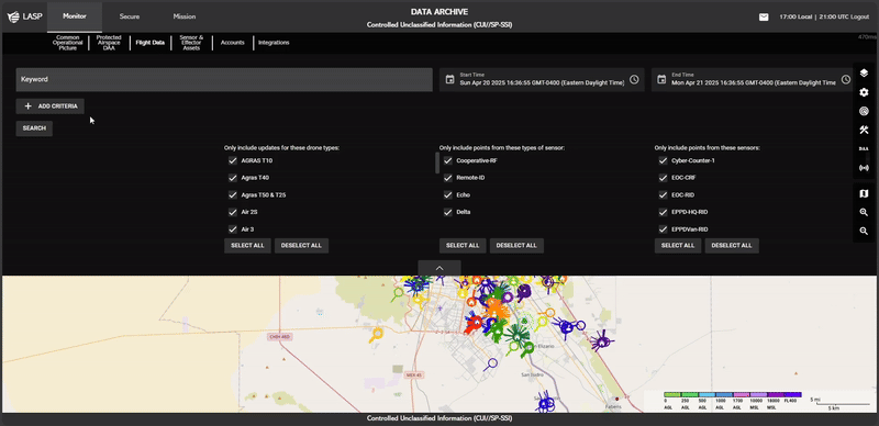
- Click the SEARCH Button:
- After applying filters, click SEARCH to apply the filters and begin looking for flights that match the criteria.
- The SEARCH button hides the filter section and fully exposes the map.
- As the search progresses, users can see the loading progression percentage displayed on the top left of the map, indicating the status of the request.
For more granular control, users can refine their search using checkboxes and toggle options:
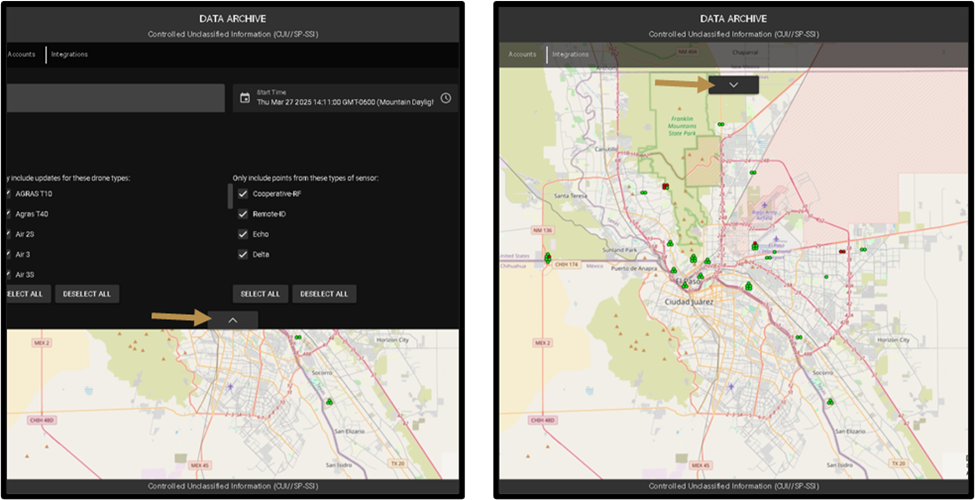
- Only include updates for these drone types:
- Users can scroll through a list of available drone types, and check or uncheck the boxes to include or exclude specific drone types in the results.
- SELECT ALL and DESELECT ALL buttons are available to quickly toggle all boxes on or off.
- Only include points from these types of sensors:
- Users can scroll through the list of sensor types, and check or uncheck the boxes to include or exclude specific types of sensors.
- SELECT ALL and DESELECT ALL buttons are available for quick selection.
- Only include points from these sensors:
- Users can scroll through a list of individual sensors and check or uncheck boxes to filter based on specific sensors.
- SELECT ALL and DESELECT ALL buttons are available for quick selection.
After a Criteria is applied, it will appear in the active search criteria section.
- To remove a Criteria, click REMOVE next to the respective Criteria.
- Users must then press SEARCH to apply the updated search conditions and refresh the results.
-
Points on the Map:
The map displays different points to represent various data captured during drone flights, and these points serve as visual markers for specific locations and events.
-
Points Color-Coding:
The points on the map are color-coded to represent different flights, with each flight having a unique color. This allows users to easily differentiate between flights. -
Pilot Point:
 A point with a person icon represents the pilot’s
location during the flight. This icon distinguishes the
location where the pilot was situated at specific points
throughout the flight.
A point with a person icon represents the pilot’s
location during the flight. This icon distinguishes the
location where the pilot was situated at specific points
throughout the flight.
-
Home Point:
 A point with a house icon represents the drone’s home
location. This icon marks the starting or returning
point of the drone during the flight.
A point with a house icon represents the drone’s home
location. This icon marks the starting or returning
point of the drone during the flight.
Users can toggle the visibility of the filtering section by
clicking the Arrow
 at the bottom of the filter section.
Clicking the arrow will expand or contract the filter
section.
at the bottom of the filter section.
Clicking the arrow will expand or contract the filter
section.
Selecting a Point on the Map
When users click on any point on the map that represents a drone
position detected by a sensor during its flight, the Drone Data
Card will appear.
The Drone Data Card will display the following information:
- FlightID
- Altitude (Ft):
- AGL (Above Ground Level)
- MSL (Mean Sea Level)
- Position:
- Lat: Latitude
- Lon: Longitude
- Yaw: The drone's orientation (in degrees).
- Speed: The speed of the drone during the flight.
- Drone Type: Type of the drone used for the flight.
- Date of Flight: The date when the flight occurred.
- Source: The source of the data.
- Source Name: The name of the source providing the data.